420m@80% range 5mm@30m accuracy HiScan-R Lightweight Mobile LiDAR System with 0.001° angular resolution
HiScan-R lightweight mobile LiDAR system is mobile surveying and mapping equipment based on Riegl LiDAR and launched by Wuhan Hi-Cloud Technology Co., Ltd. It integrates modules like 2D laser scanning equipment (LS), satellite positioning module (GNSS), inertial navigation unit (IMU), wheel encoders, panoramic cameras, assembly control module and high-performance board computer, etc.. It can collect point cloud data and panoramic images in real-time. It is convenient to install in various carriers such as cars, beach buggies, ships or other mobile carriers. The production and processing of vector map data, street view data and geographic data can be easily completed during the movement of the carriers. It is widely used in topographic survey, urban municipal component survey, urban garden survey, traffic survey and design, traffic information survey, street view map service, digital city, waterway and island survey and other fields.
Specification
HiScan-R Lightweight Mobile LiDAR System
| Items | Parameters |
| Number of Scanners | 1 |
| Range Measurement | 420m@80% reflectivity |
| Laser Frequency | Max. 1,000,000points/s |
| Range Accuracy | 5mm@30m |
| Angular Resolution | 0.001° |
| Panoramic Camera | 30M pixels |
| Accuracy | 5cm@100m |
| Scan Speed | 10-250 scans/s |
| Positioning Accuracy (no lock loss, post-processing) | horizontal 0.01m |
| vertical 0.02m |
| Orientation Accuracy (no lock loss, post-processing) | heading 0.004° |
| pitch/roll 0.003° |
Features
- Integration: highly integrated, light vehicle platform suitable for different models.
- Retractable: retractable roof rack, effectively solving the problem of rear shielding of different models.
- High precision: high point cloud density, high point recognition rate, high measurement accuracy.
- Calibration-free: calibration is completed before delivery.
- High intelligence: seamless integration of point cloud and panorama.
- Adjustable: support left and right angle adjustment of 30°/60°, obtain more comprehensive data.
- Lightweight: small size and multiple carriers, greatly reducing the blind area of operation.
- Easy to store: pluggable data storage design.
Application Fields
It can be widely used in street view maps, cadastral surveys, urban municipal component surveys, traffic survey informatization, urban landscaping surveys, digital/smart 3D city, digital waterways, island and reef survey and other fields.
i. Internet street view map

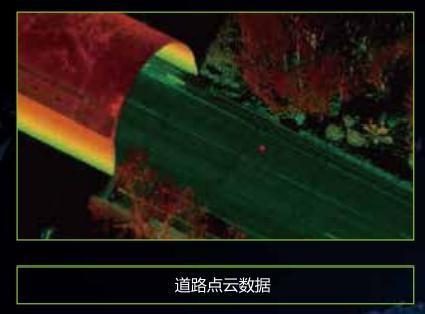
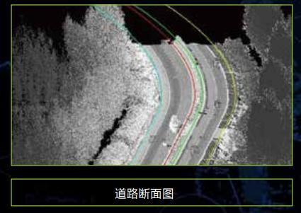
ii. Basic topographic mapping
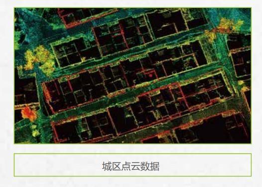
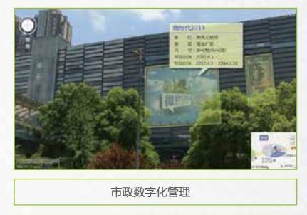
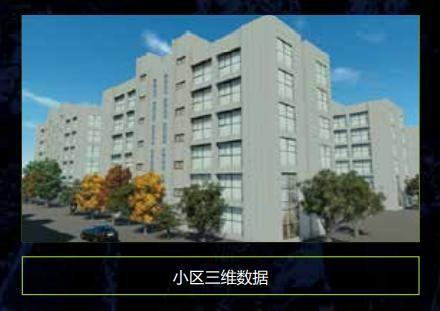
iii. Urban municipal component survey
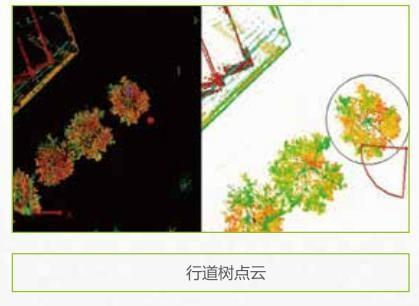
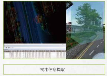
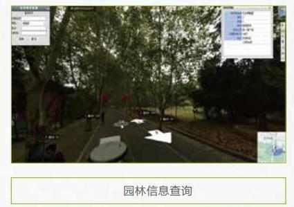
iv. Urban landscaping survey
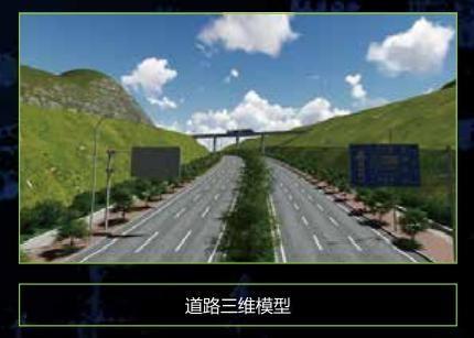
v. Highway survey and intelligent transportation
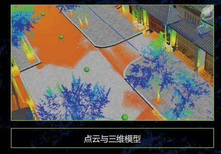
vi. Digital 3D city
Product Tags:

|
|
HiScan-R Lightweight Mobile LiDAR Equipment Mapping System Adjustable Images
|